During the restless night of Monday, an earthquake with a magnitude of 4.3 shook the San Francisco Bay area, abruptly waking thousands of residents, especially around Berkeley. Although not very destructive, this earthquake caused a major psychological and scientific shockwave. It bluntly rekindles the debate over the imminent threat of the “Big One,” the dreaded catastrophic earthquake on the San Andreas fault and its tributaries. The collected seismic data provide spectacular revelations about the behavior of Californian geological faults, raising many questions about risk prevention and environmental impact. This event, though modest in magnitude, represents a real large-scale test for early warning technologies and the urban resilience of a metropolis regularly exposed to these extreme natural phenomena.
- 1 In-depth analysis of the recent earthquake in San Francisco: magnitude, intensity, and propagation
- 2 The Hayward fault and the geological faults around San Francisco: a complex system under high tension
- 3 Advanced technologies for seismic risk prevention: the strategic role of ShakeAlert
- 4 Population reactions and the role of social networks in response to an earthquake in San Francisco
- 5 Prepare and anticipate: strategies to reduce the environmental and human impact of earthquakes in California
In-depth analysis of the recent earthquake in San Francisco: magnitude, intensity, and propagation
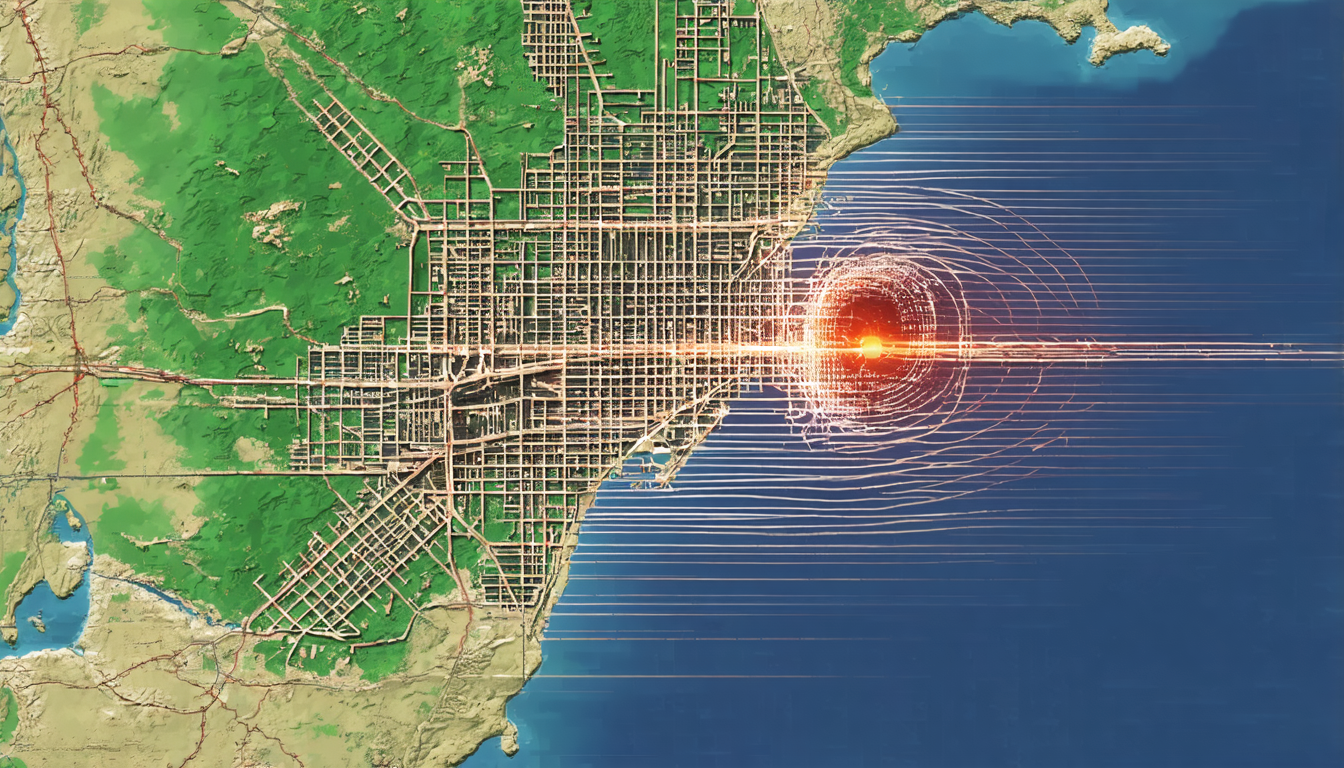
The earthquake, precisely located near Berkeley, was recorded with a magnitude of 4.3 on the Richter scale. The US Geological Survey (USGS) indicated a relatively shallow depth of 7.8 km, which explains the nervousness felt by the residents. Indeed, when an earthquake occurs at shallow depth, seismic waves carry more concentrated energy, often resulting in intense shaking even for moderate magnitudes.
In this specific case, the shaking was felt as far as San José, extending the impact area well beyond the epicenter. The collected data show that the seismic wave propagated over a large surface, a typical characteristic of the active faults in the region. The Hayward fault, which directly crosses Berkeley, is particularly considered the probable source of this seismic event.
Through a comparative analysis with historical earthquakes, it appears that this magnitude is relatively moderate. However, it is useful for understanding the elastic and dynamic behaviors of faults under stress. The last major earthquake on the Hayward fault dated back to 1868, with a magnitude of 6.8, causing significant damage. Since then, seismic load has been relentlessly accumulating, raising concerns among scientists and residents.
This particular geological area is closely monitored thanks to numerous instruments installed by American laboratories and institutions. These devices generate crucial seismic data, allowing mapping of the precise vulnerability of existing infrastructures. For example, surveys have shown that some buildings in Oakland are more likely to suffer structural damage.
Here is a list of the main characteristics of this recent earthquake:
- Magnitude: 4.3
- Depth: 7.8 km
- Epicenter: Near Berkeley
- Duration of shaking: Apparently between 10 and 20 seconds
- Impact area: San Francisco, Berkeley, San José, Oakland
- No major damages or injuries
The following table summarizes these observations with seismic data from the last 20 years in this sector:
| Date | Magnitude | Depth (km) | Location | Reported impacts |
|---|---|---|---|---|
| 2025-04-21 | 4.3 | 7.8 | Berkeley | Shaking felt, no damage |
| 2014-08-24 | 6.0 | 10.0 | Napa | Significant building damage, injuries |
| 2007-12-31 | 4.2 | 8.5 | Hayward | Moderate shaking, no casualties |

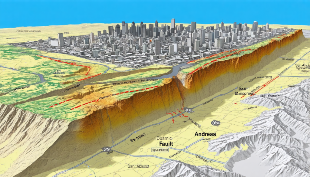
The Hayward fault and the geological faults around San Francisco: a complex system under high tension
The San Francisco region is characterized by a dense network of particularly active geological faults. Among them, the Hayward fault is one of the most monitored worldwide, especially due to its direct proximity to densely populated urban areas such as Berkeley, Oakland, and Fremont. This fault is an integral part of the complex San Andreas fault system, which crosses California.
Studies conducted over several decades have shown that this fault bears strong tectonic pressure, resulting in a progressive accumulation of energy. This situation is conducive to the occurrence of high magnitude earthquakes that could cause a major natural disaster at any time. The scientific community particularly fears an event surpassing the historic earthquakes of 1906 and 1989, often referred to as the “Big One.”
To better understand this threat, here are various aspects related to the Hayward fault and surrounding faults:
- Length and extent: The Hayward fault extends over about 119 km, crossing several densely populated urban areas.
- Earthquake frequency: Although less regular than on San Andreas, earthquakes on Hayward are often more localized but violent.
- Potential impact: A major earthquake on Hayward could affect up to 6 million people, with high risks for critical infrastructure (bridges, power grids, etc.).
- Risk of secondary fires: Seismic ruptures can cause pipeline breaks and fires that are difficult to control.
- Monitoring: More than 200 seismic sensors are installed to continuously collect seismic data studied by specialized expert teams.
The current energy accumulation is estimated by some researchers to be over 80% before a major release that could occur in the coming decades. This percentage reflects the statistical probability that an event of magnitude 7 or higher will occur in this area.
The table below illustrates the main faults surrounding San Francisco, their characteristics, and associated risks:
| Fault | Length (km) | Last major earthquake | Estimated magnitude | Population at risk |
|---|---|---|---|---|
| Hayward | 119 | 1868 | 6.8 | 6 million |
| San Andreas | 1300 | 1906 | 7.8 – 8.0 | 7.5 million |
| Calaveras | 146 | 1984 | 6.2 | 1.2 million |
Advanced technologies for seismic risk prevention: the strategic role of ShakeAlert
The recent earthquake was a real test for the ShakeAlert early warning system, deployed in the San Francisco Bay area. This technology, designed to detect earthquakes in real-time and warn the population a few seconds before the main shaking, proved effective in limiting human and material risks, even with sometimes a reduced window.
ShakeAlert operates from a dense network of seismic sensors that analyze the first waves emitted by an earthquake. As soon as alert thresholds are exceeded, automatic notifications are sent to smartphones, emergency services, televisions, and transport systems.
This allows users to:
- Protect themselves by adopting the appropriate actions.
- Interrupt potentially dangerous industrial procedures.
- Secure public transportation.
- Activate emergency protocols planned by authorities.
Feedback from the recent event shows that several thousand residents received timely alerts, which prevented many domestic and professional accidents. This technology represents a major advancement in the prevention of risks related to natural disasters, although skeptics point out that these few seconds may seem insufficient during a major earthquake.
Here are the main features of the ShakeAlert system:
| Parameter | Description |
|---|---|
| Detection time | Less than 10 seconds after the start of the earthquake |
| Alert time | Between 5 and 30 seconds before the main shaking |
| Alert methods | Smartphones, public systems, radio, television |
| Covered areas | Large part of California |
| User interface | Instant and clear notifications |
Following the recent earthquake, a multitude of remarks, analyses, and humor have flooded social platforms such as Twitter, Facebook, and Reddit. This phenomenon illustrates how deeply the Californian population has integrated the threat of earthquakes into daily life, oscillating between sincere fear and offbeat strategies to lighten the mood.
Online testimonies often describe sudden awakenings, a feeling of prolonged shaking, and the sudden fear that gripped many residents. Paradoxically, popular cultural references, notably to the movie San Andreas or other works on earthquakes, are often used to put this fear into perspective or even to laugh at it. These exchanges contribute to a collective form of emotional management.
The virality of certain memes also testifies to the resilience and ability of citizens to engage intelligently in discussions around these major risks. At the same time, authorities encourage this awareness-raising and remind people of good prevention practices:
- Secure furniture and heavy objects firmly
- Prepare an emergency kit including water, food, flashlight, and medicines
- Know and apply protective actions during shaking
- Avoid elevators and windows during an earthquake
- Participate in local simulation exercises
These instructions are essential to minimize the human and environmental impact of a high-magnitude earthquake.

Prepare and anticipate: strategies to reduce the environmental and human impact of earthquakes in California
Although earthquakes remain unpredictable in their exact timing, the San Francisco region, aware of the risks, has engaged in a continuous dynamic of prevention and adaptation. Preparing for a future large-scale earthquake involves implementing structural, educational, and technological measures, all based on the exploitation of seismic data collected on the ground.
Among the key deployed strategies are:
- Infrastructure reinforcement: Older buildings are gradually brought up to seismic standards. This includes installing damping systems, strengthening foundations, and using specific materials.
- Smart urban planning: Mapping of faults and unstable soils now guides construction decisions to avoid the most vulnerable areas.
- Awareness and training: Regular campaigns aim to inform the population about proper reflexes, assembling emergency kits, and participating in simulated exercises.
- Development of scientific research: Increased funding enables geologists and seismologists to model scenarios, improve alert systems, and develop a finer understanding of geological faults.
- Coordination of relief and interventions: Response protocols are continually reviewed to optimize the speed of relief efforts and resource management.
The table below provides an overview of current structural and non-structural measures in place:
| Measure type | Description | Main objective |
|---|---|---|
| Building reinforcement | Modernization of old constructions and strict regulations for new ones | Reduce material damage and protect lives |
| Urban planning | Use of seismic data to guide land use planning | Limit exposure to risks |
| Awareness and training | Regular public education via media and schools | Improve individual and collective responsiveness |
| Scientific research | Funding for modeling and increased monitoring | Understand and predict seismic phenomena |
| Relief coordination | Intervention protocols and emergency simulations | Optimize post-earthquake management |
These coordinated efforts illustrate California’s determination to drastically reduce the human and environmental impact of future earthquakes. Anticipating has become a vital necessity, country and citizens united in this ongoing battle against one of the planet’s most formidable natural disasters.